Infrastructure operators, governments and insurers need continuous, reliable and scalable deformation monitoring to anticipate failures and manage risk, but most existing solutions remain constrained by cost, complexity and limited scalability.
Turning SAR into a scalable revenue layer FOCUS targets the opportunity to transform infrastructure monitoring from a high-cost technical service into a scalable subscription business, with expansion potential into insurance-grade risk intelligence and parametric insurance.
Combines a SAR constellation, an automated subscription platform, and AI-powered intelligent data processing into one integrated, autonomous system.
XSAM is building proprietary intellectual property across the FOCUS system, including mission architecture, service automation, processing workflows and analytics delivery, creating long-term defensibility, scalability and strategic value.
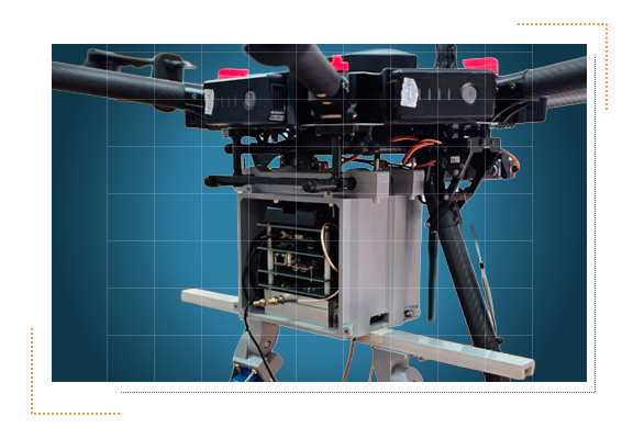
Touchdown at TRL 4
FOCUS follows a phased roadmap from airborne validation to in-orbit demonstration and full constellation deployment, reducing technical and commercial risk step by step.
The FOCUS system operates on a subscription model, ensuring predictable costs, scalability, and control. This approach enables users to access critical data with minimal entry barriers and complete transparency.
The constellation's size will adjust according to global image demand, enabling efficient scaling and resource optimization to meet market needs.
Leveraging low cost, COTS (commercial off-the-shelf components), agile engineering practices, and onboard pre processing.
Streamlining operations to significantly reduce production and operational costs while delivering high-quality solutions at a fraction of traditional prices.
The FOCUS system features a user-friendly interface that enables any user —even without technical expertise— to effortlessly access accurate data, interpret alerts, and generate reports, enhancing agile decision-making and proactive risk management.
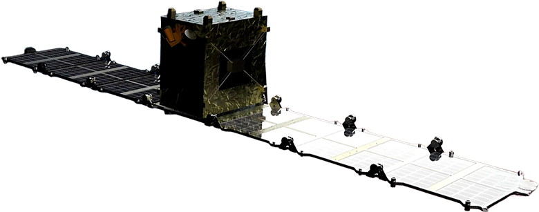
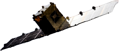
| Satellite weight | 150kg |
| X-Band (9.65 GHz) | |
| Orbit altitude | 490 - 530km |
| Spotlight mode | |
| Incidence angle | 25-36° |
| Slant range resolution | 0.5–1 m |
| Slant azimuth resolution | <1 m |
| Ground range resolution | 0.8–1.3 m |
| Optimized capture | 1x1km / 3x3km / 5x5km |
XSAM works with a strong partner network that strengthens and accelerates its capabilities, building strategic relationships with mutual value and helping drive a broader ecosystem forward.