
Our service starts with a simple input from you: the Area of Interest (AOI), relevant assets, objectives, and monitoring period. We handle everything else — from data acquisition to processing, analysis, and reporting. The workflow is fully configurable, selecting the most suitable InSAR technique depending on your site and goals:
1
Requirements
and Geolocation
2
Satellite
Data Acquisition
3
Processing
and interpretation
4
Displacement
Measurement
5
Visualization / 3RD Party Applications / Support
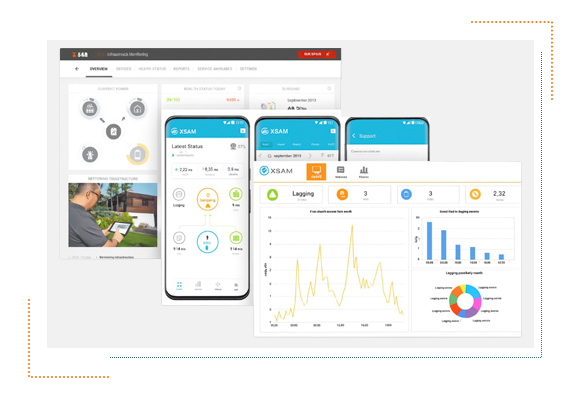
Industrial operations face increasing challenges from geotechnical instability, extensive asset footprints, and stricter regulatory requirements. XSAM’s InSAR Monitoring Service provides a scalable, reliable, and low-maintenance solution to monitor ground and infrastructure deformation over time. By leveraging satellite radar imagery, we can detect movements at millimeterscale precision, across large areas, and under allweather conditions — providing trusted surface deformation and behavior information to support your technical teams’ monitoring needs.

Our service starts with a simple input from you: the Area of Interest (AOI), relevant assets, objectives, and monitoring period. We handle everything else — from data acquisition to processing, analysis, and reporting. The workflow is fully configurable, selecting the most suitable InSAR technique depending on your site and goals:
For stable infrastructure that requires highly accurate displacement tracking
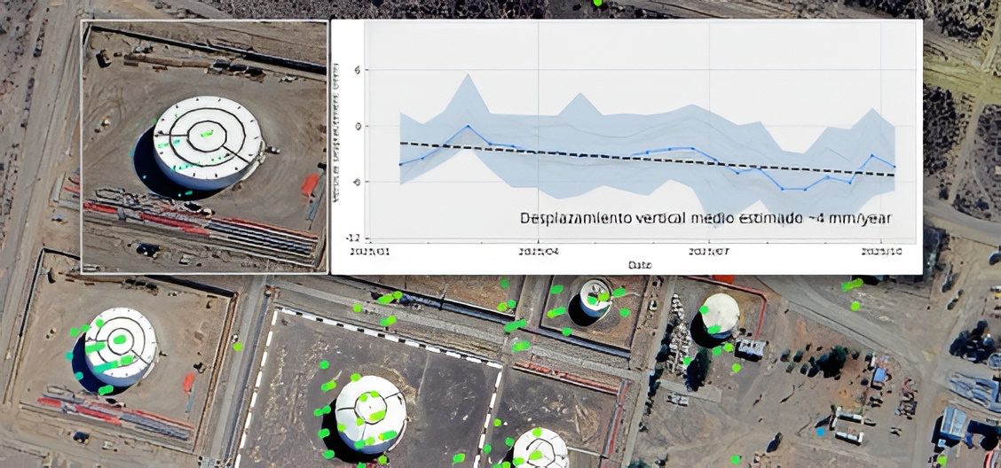
This service is designed to detect very small movements in assets such as buildings, bridges, tanks, embankments, and industrial structures. It is ideal when the priority is precision, consistency, and long-term monitoring of critical points.
For large territories, corridors, and areas with limited built structures
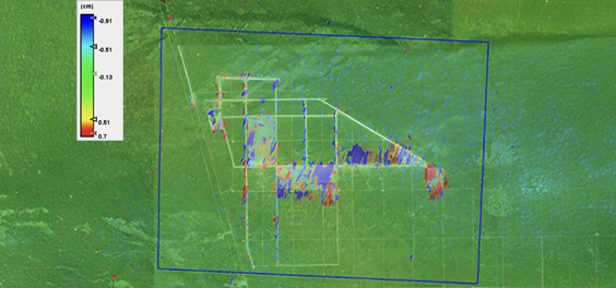
This service provides a broader view of ground movement across large areas such as roads, pipelines, slopes, rural zones, industrial surroundings, and extended corridors. It is especially valuable where precision monitoring alone is not enough or where the terrain is more complex.

For sudden changes, fast deformation, and major movement events
This service is used when the priority is detecting abrupt changes or larger displacements caused by specific events or accelerated ground motion. It supports the monitoring of dams, mining sites, unstable terrain, and other high-risk environments where rapid response matters.

For detecting changes in surface behavior and early signs of anomaly
This service tracks variations in surface response over time, helping identify changes that may indicate evolving conditions, operational anomalies, or early warning signs. It is a strong complement to displacement monitoring and is useful when understanding surface behavior is as important as measuring movement.
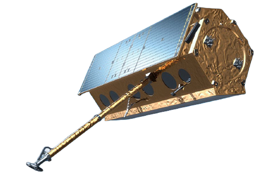
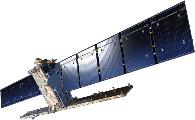
XSAM operates a multi-constellation approach, leveraging data from the full range of available satellite constellations. We source and integrate the specific datasets required for each project, based on what the client needs to observe. Our most frequently used products rely on X-, C-, and L-band SAR data, selecting the most suitable band depending on the monitoring objective and the observation requirements.
X Band

L Band
C Band
Thanks to open satellite imagery (e.g., Sentinel-1) and a cloud-based processing workflow, you can start monitoring with minimal input and low upfront costs. No onsite sensors or proprietary data are required — we turn your AOI and objectives into a ready-to-use monitoring product.
We know that confidence in remote sensing data is critical. Our InSAR service is backed by extensive validation and research:
Ensuring alignment with real-world ground displacement data. Studies show millimeter-to-centimeter agreement between InSAR and high-quality ground measurements, reducing uncertainty in decision-making.
Such as interferometric coherence, spatial sampling density, and error metrics are included to give full transparency of the data’s reliability.
This combination ensures that XSAM InSAR results are actionable, precise, and trustworthy for industrial applications.
This combination ensures that XSAM InSAR results are actionable, precise, and trustworthy for industrial applications.
We are building a subscription-based platform for continuous, automated InSAR monitoring. Our goal is to deliver transparent, predictable, and scalable services for high-volume applications. Future modules will incorporate AI-driven analytics to enhance detection, forecasting, and operational insights. Get in touch with us to see how XSAM´s InSAR Monitoring Service can provide early warning, operational insight, and risk-informed decision support for your assets. Explore how InSAR monitoring is applied across different industries. Our portfolio illustrates potential applications for a range of industrial needs, based on both XSAM projects and insights from leading research. Discover these projects and possibilities here.
XSAM works with a strong partner network that strengthens and accelerates its capabilities, building strategic relationships with mutual value and helping drive a broader ecosystem forward.